
3-D Laser Acquisition System
ARS-100 is an unmanned aerial vehicle lidar system independently developed by Jiangsu Rain Energy Water Conservancy Engineering Co., Ltd. The light airborne three-dimensional laser system integrates high-precision laser scanner, aerial camera, GPS, IMU and other sensors on the Rotor UAV platform. Supported by the time synchronization technology of independent intellectual property rights and the integrated multi-sensor integration technology, the three-dimensional laser point cloud, high-definition image and positioning and posture are acquired synchronously. Data, through a complete set of data processing and application software, can quickly generate DSM, DEM and DOM, and make DLG and 3D models. Because of its light weight, convenient carrying and high efficiency in processing results, the system is widely used in emergency surveying, small-scale topographic mapping, power patrol, highway surveying, coastal reef surveying, reclamation calculation, archaeological surveying and mapping, intelligent community/scenic area, digital city and other fields.
Detailed equipment parameters:
1. Laser scanning system:
1) Laser level not less than 1;
2) The measuring range is not less than 100m.
3) Ranging accuracy: better than 3 cm;
4) Field of view: 360 degrees horizontally and no less than 30 degrees vertically.
5) Scanning frequency: not less than 20Hz;
6) Point cloud density: not less than 300,000 points per second;
7) Horizontal angular resolution of laser: not more than 0.1 degree;
8) Laser vertical angular resolution: not more than 2 degrees;
9) Storage space: not less than 200GB;
10) Attitude accuracy: better than 0.025 degrees;
11) heading accuracy: better than 0.08 degrees;
12) Planar positioning accuracy: 2 cm;
13) Elevation positioning accuracy: 5cm;
14) The plane accuracy of the system is better than 10 cm.
The elevation accuracy of the system is better than 10 cm.
16) Laser channel number: no less than 16 channels.
Acquisition and Control Software
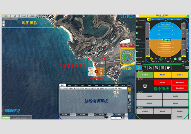
The acquisition and control software is a professional acquisition and control software developed independently by Jiangsu Rainpower Hydraulic Engineering Co., Ltd. It supports the state control and parameter setting of GPS, IMU, ranging system and imaging system, as well as the real-time monitoring of the working status and operation of each sensor. Trajectory and heading information;
Software device parameters:
1) Communicate with the host via WiFi;
2) It can remotely control the host computer to collect data or stop, and adjust the laser gear and camera settings in the control software as needed.
3) It can display the status of IMU, GPS and other sensors remotely and in real time.
4) The data of lidar and IMU can be downloaded remotely.
5) With its own route planning function, select the survey area on Google Earth, import the route planning module, set relevant parameters, and automatically generate the route;
6) can load offline map;
7) There are two acquisition modes: manual mode and automatic mode. After importing the planned route, the data acquisition can be completed automatically according to the route.
The multi-source data fusion software is a processing software independently developed by Wuhan Rain Energy Digital Cloud Technology Co., Ltd. based on multi-source data. It provides real-time browsing of multi-source data and collects comprehensive verification of multi-source data.
The main functions are as follows:
Output high-precision trajectory data, and automatically generate point clouds;
Time filtering: support input multiple time periods, will only fuse to generate point clouds in these time periods, if check "multi-time period split", then point clouds in these time periods will generate point cloud files respectively.
Specified area filtering: If checked, the following four Edits can be edited, and only the point clouds in the area will be merged. Support the display of point clouds, and support the import of control points and vector files and the overlay display of point clouds. Vector files must be in * shp, * DXF and other formats.
4) After importing verification points into point cloud data, select feature points corresponding to verification points one by one in point cloud, click right-click to confirm after selection, and the system automatically derives the accuracy report as Excel table.
Point Cloud Analysis and Processing Software
Point cloud analysis and processing software is an analysis and processing software independently developed by Rain Energy Co., Ltd. based on three-dimensional laser and image. It provides three-dimensional visualization mode of operation and realizes the classification of point cloud data and the production of various results quickly. The main functions are as follows:
1) Support the access and visualization of LiDAR point cloud data, vector data and DEM data, and provide and mainstream LiDAR data processing software;
2) Supporting interactive discrimination of three-dimensional objects and deleting unnecessary point cloud data;
3) Variability data of 6 DOF IMU sensors and GPS solution;
4) Supporting massive point cloud loading (more than 1 billion points), dragging, zooming, and point cloud roaming with specified paths are smooth and without obvious jamming; loading time is less than 2 seconds;
5) Supporting the registration of high-definition images and laser point clouds, and coloring point clouds;
6) Automatic filtering and classification algorithms of point cloud data, fine classification of point cloud editing based on multi-mode and multi-view, and classification accuracy evaluation of multi-mode and visualization;
7) Provide intelligent point cloud classification algorithm to facilitate the post-processing of point cloud
8) Support a variety of point cloud rendering methods, including rendering by monochrome wire frame, elevation wire frame, circular ribbon wire frame, monochrome entity, elevation entity and circular ribbon entity. The elevation entity rendering according to the circular color band can distinguish the height fluctuation of the objects in the elevation model according to the color depth displayed by the elevation model. ;
9) Support the export of various point cloud data formats, including obj, dxf, xyz, las, etc.
Digital Mapping Software
Digital mapping software is a mapping software independently developed by Jiangsu Rainpower Hydraulic Engineering Co., Ltd. based on three-dimensional laser and scene images.